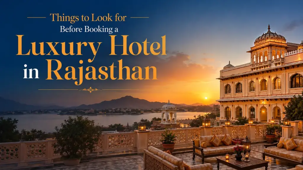
Things to Look for Before Booking a Luxury Hotel in Rajasthan
Rajasthan doesn’t just invite you -it pulls you in. The colours, the forts towering over desert landscapes, the stories stitched into every stone wall. And when you pair that experience with a luxury stay, the whole trip shifts from ordinary tourism to something you’ll talk about for decades. But here’s the catch. Not every property calling itself a “luxury hotel in Rajasthan” actually delivers what you’d expect. I’ve seen beautifully photographed palaces with crumbling bathrooms, five-star promises with three-star service, and heritage properties where “heritage” simply meant old plumbing with no upgrades since the 1970s. So before you hand over your credit card, there are specific things worth checking. This guide breaks down exactly what to look for -drawing on real traveller experiences, hospitality industry standards, and the unique quirks of Rajasthan’s hotel landscape -so you book a place that genuinely matches the price tag. Why Rajasthan Stands Out for Luxury Travel Rajasthan is one of the few destinations on earth where luxury accommodation isn’t just about thread counts and marble lobbies. It’s about sleeping inside 400-year-old palaces, dining under open skies in the Thar Desert, and waking up to peacocks wandering the grounds of a former maharaja’s estate. The state offers a rare blend of heritage and modern comfort that few places globally can match. From converted forts in Jodhpur to lakeside palaces in Udaipur, luxury resorts in Rajasthan span a spectrum that includes boutique havelis, sprawling desert camps, and internationally branded five-star chains. That variety, however, also means the quality varies dramatically. Two properties sitting three kilometres apart in Jaipur can offer wildly different experiences despite charging similar rates. Which is precisely why a little homework before booking goes a long way. 1. Location and Accessibility Matter More Than You Think A stunning hotel loses its charm if reaching it eats up half your day or leaves you stranded far from the places you actually want to visit. What to check: Proximity to major attractions -If you’re visiting Jaipur, a property near the old city gives you easy access to Amber Fort, Hawa Mahal, and the City Palace. In Udaipur, lakeside locations near Pichola offer the most iconic experience. Airport or railway transfer distance -Some luxury resorts in Rajasthan sit 60-90 minutes from the nearest airport. That’s fine if you know it upfront. It’s frustrating when you don’t. Surrounding environment -A heritage hotel on a busy highway feels very different from one tucked into the Aravalli hills. Check satellite views, not just the property’s own photos. City Ideal Location for Luxury Stay Nearest Airport Key Attractions Nearby Jaipur Near Amer or Civil Lines area Jaipur International (15-25 min) Amber Fort, Nahargarh, Hawa Mahal Udaipur Lake Pichola surroundings Maharana Pratap Airport (25-35 min) City Palace, Jag Mandir, Saheliyon ki Bari Jodhpur Near Mehrangarh Fort Jodhpur Airport (10-20 min) Mehrangarh, Umaid Bhawan, Clock Tower Jaisalmer Inside or near the Fort area Jaisalmer Airport (15 min) Jaisalmer Fort, Sam Sand Dunes, Patwon ki Haveli Pushkar Lakeside properties Ajmer Junction rail (30 min) Brahma Temple, Pushkar Lake, Rose Garden Ranthambore Near the national park gates Sawai Madhopur rail (20-30 min) Ranthambore Tiger Reserve, Fort A quick tip from experience -if you’re planning a multi-city Rajasthan tour, pick hotels that sit along your natural route rather than backtracking for a “better” property. 2. Verify the Heritage Credentials (Not All “Heritage” Is Equal) Rajasthan is famous for its heritage hotels, and rightfully so. Staying in a converted palace or haveli adds a layer of cultural immersion that a standard chain hotel simply cannot replicate. But the label “heritage” gets used loosely. The Indian government classifies heritage hotels into three official categories: Classification Property Age Typical Features Heritage Built before 1950 Original architecture preserved, basic modernisation Heritage Classic Built before 1935 Significant historical value, period furniture, larger properties Heritage Grand Built before 1920 Exceptional historical importance, palatial scale, museum-quality interiors Before booking any heritage hotel in Rajasthan, check whether the property holds an official Heritage classification from the Ministry of Tourism. A genuine heritage stay will have documentation of its history, original architectural elements, and usually a story tied to a royal family or historical event. Properties that lack this classification aren’t necessarily bad -many privately owned havelis offer wonderful experiences -but knowing the difference helps you set realistic expectations. 3. Room Categories and What “Luxury” Actually Includes One of the most common disappointments with premium hotels in Rajasthan involves rooms categories. The base-level room at a luxury property can sometimes feel surprisingly compact, especially in heritage conversions where room sizes were dictated by century-old architecture. Before you book, dig into these details: Room size in square feet -Don’t just rely on photos. Ask for exact dimensions. A 250 sq ft heritage room and a 550 sq ft suite are completely different experiences. View from the room -Lake view, fort view, garden view, or parking lot view? This single detail can dramatically change your stay. Bathroom quality -This is where many heritage properties fall short. Modern fixtures, consistent hot water, rain showers, and quality bath amenities should all be non-negotiable at luxury price points. Bed configuration -Some older properties still use twin beds pushed together. If a king-size bed matters to you, confirm it in advance. Climate control -Rajasthan temperatures swing wildly. Summers push past 45°C; winters can drop to near freezing in the desert. Working air conditioning and heating aren’t optional. For couples especially, these details make or break the experience. The best hotels for couples in Rajasthan offer private balconies, bathtubs with views, and turn-down service with thoughtful touches -things that turn a nice stay into a memorable one. 4. Evaluate the Dining Options Thoroughly Rajasthani cuisine is one of the highlights of any trip to the state, and your hotel’s dining setup directly impacts how much of it you get to enjoy. What sets great hotel dining apart: Rajasthani speciality menus -Dal Baati Churma, Laal Maas, Ker Sangri, Gatte ki Sabzi. A luxury property in Rajasthan should celebrate local food, not
Things to Look for Before Booking a Luxury Hotel in Rajasthan Read More »